
Great policy is the result of public input, transparency and data-driven decision making. In my work researching land use issues across Long Island, I’ve found the following resources are very helpful:
Maps, Cartography, and More
The Long Island Pine Barrens
Special Groundwater Protection Areas 2018
Town of Smithtown Existing Land Use 2007
The Regional Plan Association’s Fourth Plan
Demographic Data (With many thanks to Peter Lambert of Suffolk County Department of Planning):
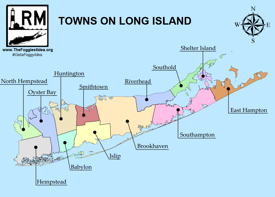
Population and Density by Township on Long Island 2014
Population Data for Suffolk County_1980-2010
Suffolk County Profile for 2013
Total Population, Housing Units, Land Area, and Population Density for 2010
Minority Populations on Long Island 2010
Population by Age, Nassau and Suffolk Counties 2010
Average Household Size on Long Island
Average Income on Long Island 2010
Economic Distress Indicators, Suffolk County 2008 – 2012
Number of Housing Units on Long Island
Housing Statistics on Long Island
Number of Businesses Per Sector on Long Island
Business Patterns by Zip Code on Long Island 2011
Farm Acreage on Long Island
Population Projections 2014
Housing Data:
Housing Data Profiles for Long Island’s Villages (sourced from the Regional Plan Association and the Long Island Community Foundation)
Median Home Prices On Long Island 2014
Average Apartment Rent Rate Long Island 2013
Building Permits Issued on Long Island 2014
Government Resources:
Suffolk County Master Plan DRAFT June 2015
Demographic Data from the Suffolk County Department of Planning
Suffolk County Department of Planning Publications
Suffolk County iMap (GIS Portal)
The Suffolk County Planning Federation
Suffolk 2035: Quality of Life
Long Island / New York Metro Area Hurricane Storm Surge Zone Map
Resources from the Long Island Regional Planning Board/Council:
Rethinking the Brain Drain, Sept 2011
Draft LI Regional Sustainability Plan Housing Element
Historic Comprehensive Plans:
1968 Nassau-Suffolk Comprehensive Plan
Nassau-Suffolk Comprehensive Plan Executive Summary
1978 Federal “208” Study- Summary
Residential Market Analyses for Nassau & Suffolk County Part I: A Housing Program for Nassau & Suffolk Counties 1968
Residential Market Analysis Part V: Costs to the Community/Controls by the Community 1968
Inventory of Regional and Local Plans on Long Island 2011
Town Planning Documents
Town of Smithtown’s Draft Comprehensive Plan Update (2015)
2015 Draft Comprehensive Plan for Smithtown: Goals and Objectives
2015 Smithtown Draft Plan
2015 Smithtown Planning Board Recommendation re: Draft Plan
Newsday Databases (may require a subscription):
Superfund Sites on Long Island
Superstorm Sandy Flooding Map
Foreclosure Trends on Long Island
Newsday‘s NextLI:
Who Is The Next Generation of Long Islanders? (nextLI Inaugural Survey, May 2019)
NextLI Maps – Explore Your Island
Planning Organizations:
The Long Island Index
The Regional Plan Association
The American Planning Association’s Long Island Section
NewGeography.com A joint venture of Joel Kotkin and Praxis Strategy Group the site is devoted to analyzing and discussing the places where we live and work.
More resources from The Foggiest Idea‘s extensive Planning Library are always being added. Check back soon!


