What follows is a letter that was published in the North Shore Sun in June XX 2011. Originally, the letter was slated to be a series of comments submitted to North Shore Sun Reporter Jennifer Gustavson. Jennifer decided that the comments should be passed to the editorial board instead. The theme of this letter is that planning studies’ most important part is the implementation phase. Both the Mount Sinai and Middle Island projects do not conform with land use plans that are in place in each respective project area.
Jennifer,
Here are my thoughts on the project proposals, for both Mount Sinai and Artist Lake Plaza in Middle Island. What follows is my own opinion, completely seperate from the Long Island Pine Barrens Society’s views.
The Mount Sinai Center, as Commissioner Bertoli stated at tonight’s Board meeting does not conform with the recently released 25A corridor study. The study aims to create a sense of place within the five hamlets in the study area. The main vehicle the study uses to do so is the concept of “corridors to clusters”, which follows a linear, low-density growth pattern along 25A, while concentrating denser growth in the hamlet centers.
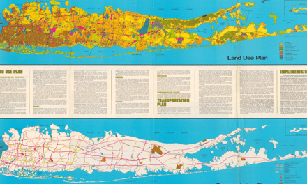
Bertoli is correct in saying that this proposal runs counter to that planning effort, thus the project should be scrapped. The most important phase of any planning study is implementation, and blatant disregard of a land use plan is counter-productive to the Town and residents of Mount Sinai.
Artist Lake Plaza is another interesting proposal. Situated along NYS 25, this is proposal needs better traffic mitigation measures. On Long Island, a road’s capacity is determined by what is called “level of service”, which is rated on a scale of A to F. Currently, the LOS of Middle Country is rated at a C or D, with peak times nearing an F. The estimated 1500 to 2000 vehicle trips generated by the project in addition to the traffic already on 25 (without substantial infrastructure upgrades as currently proposed) would be horrific.
On top of that, the project sits right in the headwaters of the Carmans River, and runs counter to the proposed Carmans Protection Plan. The environmental impacts on the ground/surface waters of the Carmans should of persuaded the Town to either stopping or scaling back the proposal.
Planning efforts must be enforced, and the municipality must have the political will to do so. The K-Mart site is blighted, but intensification of land use for that parcel is not the answer. What is the point of drafting time consuming and costly land use plans of government won’t abide by those efforts?
Thanks for reading this email!
Rich Murdocco


